Sports
Europe Weekly Snow Roundup #267

• Sunshine and dry weather have continued in the Alps for a second week.
• Freezing levels have dropped from around 4,000m to 2,500m.
• Weather forecast suggests more unsettled conditions with snowfall and colder weather at lower elevations.
• Possibility of heavier snowfall expected next week.
• Scandinavia is experiencing subzero temperatures and fresh snowfall on slopes.
• About 20 ski areas are open, predominantly in Austria and Switzerland.
EUROPE OVERVIEW
Sunshine and dry weather have continued dominating the Alps for a second week. The freezing level has dropped from around 4,000m to 2,500m, and there is a change in the air with more unsettled weather and a return of some snowfall and colder weather to lower elevations in the forecast, with the chance of heavier snowfall next week. Meanwhile, Scandinavia has reported subzero temperatures and snowfall dusting the slopes. About 20 ski areas are open, most in Austria and Switzerland, with a handful in Italy and the Scandi nations. The last summer ski areas that had stayed open into November in the Alps, Italy’s Passo Stelvio, have now closed. However, Norway’s Galdhopiggen has extended its summer run into the month’s latter half.
AUSTRIA REPORT
Austria enjoyed a mostly sunny week with freeze-thaw conditions on its seven open glaciers, which currently offer the largest ski areas in the Alps. A few centimetres of midweek snowfall briefly interrupted the sunshine, but overall, the weather has remained clear. Concerns are rising over the lack of snowfall since mid-November and temperatures too warm for snowmaking below 2,500m. Kitzbühel (0/60cm) became Austria’s eighth ski area to open, creating a 600m slope at Resterkogel using snow-farming. Sölden (0/45cm) currently has the most open terrain in Europe, with over 30km of slopes, followed by Hintertux (0/85cm) and Stubai (0/25cm), each with over 20km open. Other open glaciers, including Kitzsteinhorn, Kaunertal (30/30cm), Molltal (0/45cm), and Pitztal (30/70cm), offer smaller areas. Autumn freestyle events in terrain parks attract weekend crowds, and Obergurgl is set to open this week.
AUSTRIA FORECAST
There’s no respite in the short-term forecast, with more sunshine expected. However, it is getting colder, with the freezing point dropping to 1000m overnight. This means snowmaking systems should be able to fire up at just about some altitudes. Light snowfall is also expected on Thursday, and there are signs of more significant snowfall early next week.
FRANCE REPORT
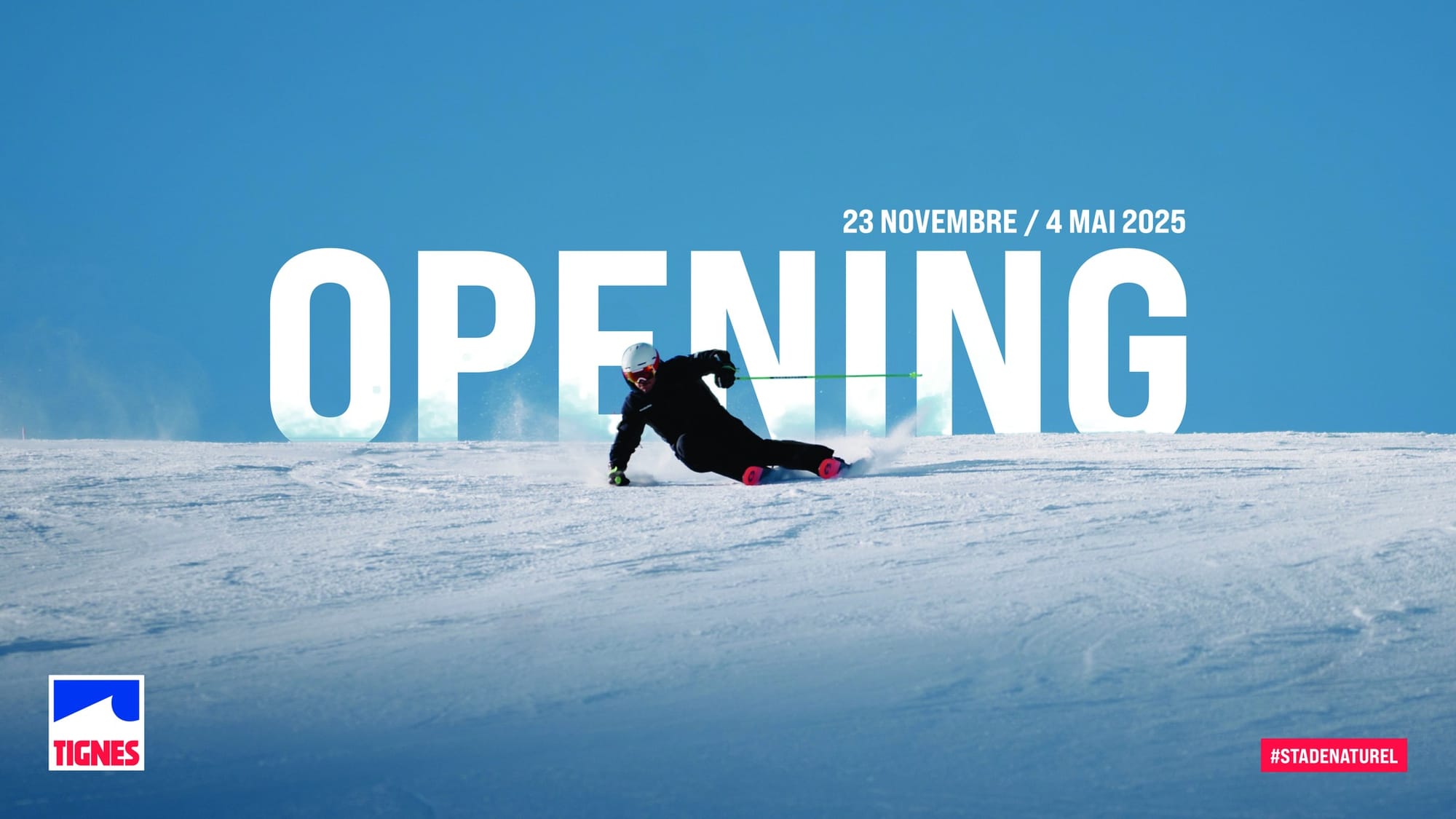
There remains nowhere open in the French Alps or the Pyrenees, and here it has been unseasonably warm and dry for a second week, so there’s currently no likelihood of anywhere opening before the expected season start dates of 22/23 November for Tignes, Val Thorens and the Chamonix Valley, now less than a fortnight away. That said, it has turned colder in the past 24 hours, and there was snowfall down to lower elevations, signifying a shift in the weather.
FRANCE FORECAST
We’re back to drier weather for the remainder of the week, but temperatures look more promising. The freezing point dropped to 1000m overnight, allowing snowmaking systems to fire up. There are signs of a significant snowfall at the start of next week, which would be perfectly timed. Current models call for several feet (60cm+) of snowfall on glaciers on Monday and Tuesday.
ITALY REPORT
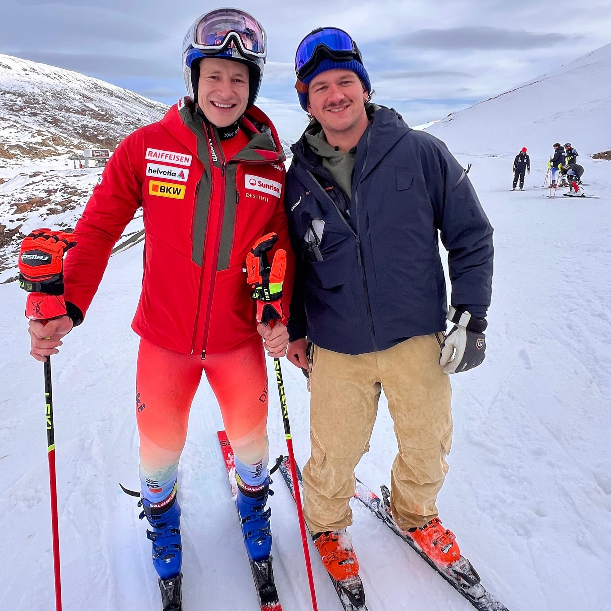
Italy’s season has instead been moving in the wrong direction. With summer ski area Passo Stelvio closing on the first Sunday of the month, we’re left with Val Senales (0/50cm / 0/20″), the only centre currently open in the country, and with only 2.5km (1.5 miles) of slopes open. You can also access Zermatt’s glacier slopes, with a more impressive 25km (16 miles) of runs, from Cervinia on the Italian side of the border. Solden has also announced that it plans to open ahead of the coming weekend. Like the rest of the Alps, Italy has had a relatively warm, sunny few weeks, and that appears to have set back ski areas like the Pragelato Glacier above Passo Tonale and Sulden Am Ortler, which would typically have opened for their seasons by now. The good news is it has been getting colder over the past few days, and some areas have seen a few centimetres of snowfall in the past 24 hours.
ITALY FORECAST
The short-term forecast has no significant changes, but temperatures will be colder than in recent weeks. Overnight, freezing levels may drop to valley floors, allowing snowmaking systems to operate intermittently before the season begins. Significant snowfall is anticipated early next week, with accumulations expected to reach 30-50 cm (12-20 inches) on Monday and Tuesday.
SWITZERLAND REPORT
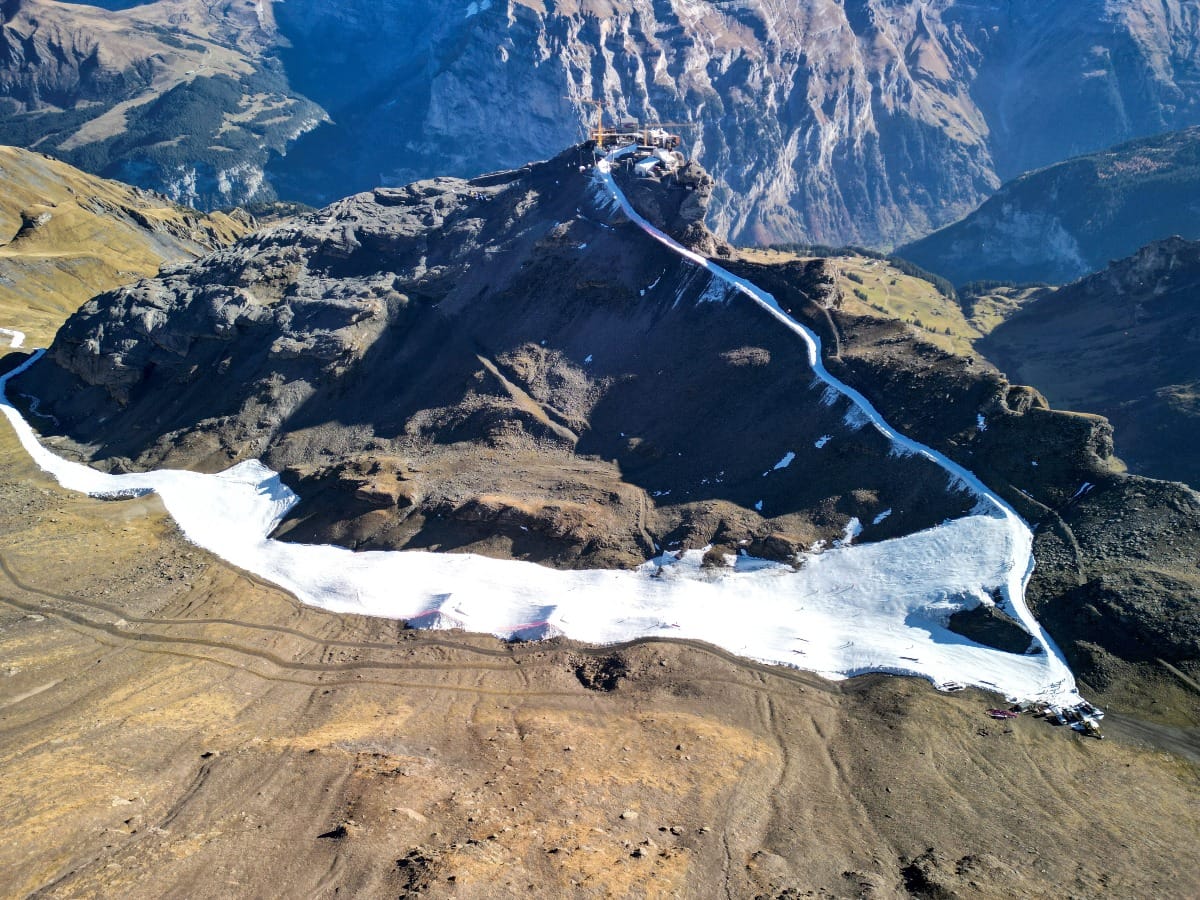
Switzerland’s ski season continues to gather pace, with seven areas now open, although most are open only on weekends. Gstaad’s Glacier 3000 (0/50cm / 0/20″) is the latest to do so, with 9km (six miles) of slopes open from day one and also opening daily from day one. The Diavolezza Glacier near St Moritz (0/50cm / 0/20”) has switched from weekend only to daily operations now. As with the rest of the Alps, it’s been another predominantly dry and sunny week in Switzerland, with cooler weather and a little snowfall up high for some in the past 24 hours. Zermatt (0/150cm / 0/60″) has one of the largest areas in the world open at present, increasing from 25km (16 miles) of runs last week to 30km (19 miles) of piste now. It is open seven days, as is its neighbour Saas Fee (0/75cm / 0/30″), which has increased its offer to 20km (13 miles) of runs now. You can also ski at the Titlis Glacier above Engelberg (0/310cm / 0/124″). Two Swiss centres are open thanks to snow-farming, with Murren (0/20cm / 0/8″) managing over 3km (2 miles) of slopes created with last winter’s recycled snow. It’s getting more sketchy at Adelboden’s TschentenAlp area (0/4-0cm / 0/16”), which is temporarily closing due to the warm weather.
SWITZERLAND FORECAST
A more positive-looking report for those hoping for snow soon as temperatures will be down to freezing down to valley floors overnight and dip as low as -8C up high overnight. Not much precipitation is forecast this week, but plenty of clouds and some light snow showers are expected, which will hopefully exceed expectations. However, things look to be changing from Monday, with 20-50cm (8-20”) accumulations expected over the first few days of next week.
SCANDINAVIA REPORT
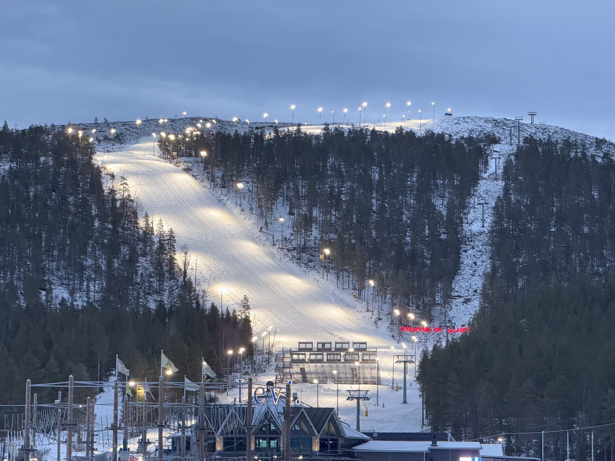
Temperatures have been cooler, allowing snowmaking systems to fire up in Finnish Lapland, so the issues Levi and Ruka had been facing maintaining their runs, made from last season’s snow, have eased. There’s even been a little fresh, natural snowfall on top. The FIS has given the green light to Levi, which will host the second round of the 24-25 season’s World Cup races the following weekend, saying the slope is ready despite the challenging conditions of the past month. There’s not much change to last week in the rest of the region. The only centre so far open in Norway remains the Galdhopiggen glacier, which opened last spring and was expected to close at the start of November, but it has extended its season to at least next weekend. In Sweden, it remains just Kåbdalis (40/50cm / 16/20”) open. It has used the same snow farming techniques as Levi and Ruka to open and has faced the same warm weather issues, but it is now also benefitting from the cooler temperatures. Although no larger areas are open yet in Norway and Sweden, big players like Hemsedal have been posting images of snowmaking underway as temperatures drop.
SCANDINAVIA FORECAST
Temperatures remain borderline across the region, typically in the -4 to +6C range. The weekend is forecasted to bring a mixture of sun, rain, and snow showers.


